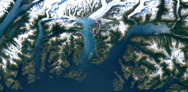
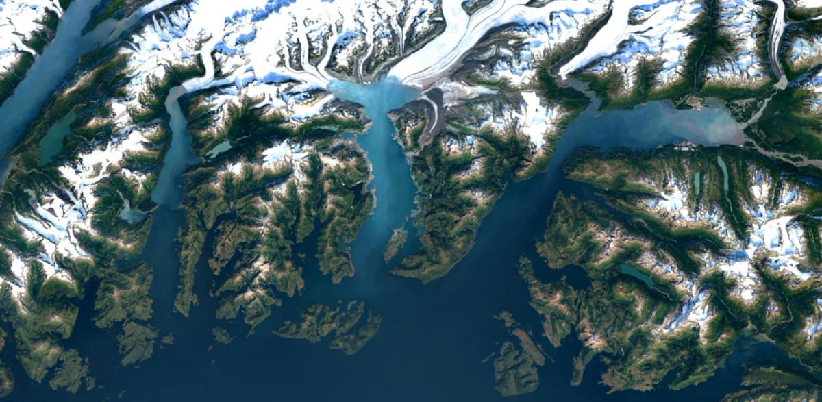
Google announced Monday the rollout of new imagery for Google Earth, and by extension Google Maps. The company said it was incorporating a new cloud-free mosaic of Earth in Google Earth utilizing higher-resolution images from Landsat 8, a satellite deployed by the USGS and NASA in 2013.
Here’s an example Google offered comparing the old Google Earth and the new version rolled out Thursday:


In a blog entry announcing the improvements, Google said the cloud-free mosaic was compiled from a petabyte of imagery that contained more than 700 trillion pixels. The company humbly noted that, “700 trillion pixels is 7,000 times more pixels than the estimated number of stars in the Milky Way Galaxy, or 70 times more pixels than the estimated number of galaxies in the Universe.”
Here’s another improved image, this one of Columbia Glacier, Alaska:

All in all, we live in magical times where science fiction is brought to life around us so casually we take it for granted. Google Earth is an amazing resource, and the improved clarity is nothing short of awesome, even though we’ll laugh at the next resolution increase a few years hence.
There are additional images in Google’s blog entry, and you can also check out Google Earth on the App Store.
The company said it was rolling out the changes starting today, but many users are still seeing what will soon be the old images. For instance, I still see the old image of New York City, and commenters on the blog post report similar experiences throughout the globe. Google didn’t offer a specific timeline on who will see what, when, but I suspect it will be Soon™.

Interesting the new MacObserver CMS adds links to my post , I’d add a frown here but the system doesn’t like it (the gray background seems sooo dark)
I can state that the imagery has been updated for the locations I’ve checked, when I can read license plates I’ll be happy 🙂
We have come a long way since Sputnik.