
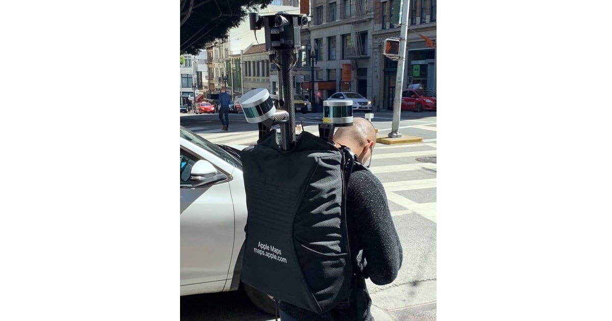
Apple Maps is collecting pedestrian level data in California. On Friday, a man wearing a Lidar rig, GPS and multiple cameras as well as an Apple Maps backpack, was spotted in San Francisco, according to MacRumors. On its website, Apple said [via AppleInsider] that Pedestrian teams will be in a number of California counties. While cars conducting mapping are not such a rare site spotted in Los Angeles earlier in the week, but as MacRumors noted: “This is the first time we’ve seen someone collecting mapping data on foot.”
Check It Out: Apple Maps Conducting Pedestrain Level Surveys




Headline reads: « Apple Maps Conducting Pedestrain Level Surveys »
Shouldn’t that be « Pedestrian »? 🙂